Excavation Methods
Units
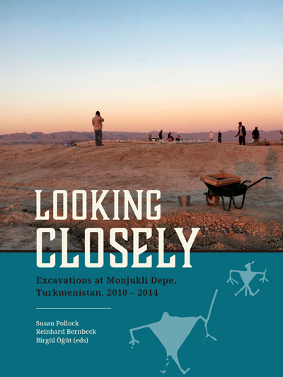
In order to obtain broad horizontal exposures as well as detailed stratigraphic sequences, we chose an excavation strategy that combined large excavation trenches and small sondages. Trenches, called "units" in Monjukli Depe, were designated by letters (A-L). The largest units, B, D, E, and F measured 10 x 10 m and were placed in the central area of the Aeneolithic settlement. Together with the smaller units C (5 x 5 m) and G (5 x 3 m), they allowed us to expose a large area of the latest Aeneolithic settlement as well as architecture of the earlier Aeneolithic levels.
Units C and D were continued as deep soundings in order to reach Neolithic levels in these areas of the site. Following the recognition that the peripheries of the ancient settlement extended beyond today's visible mound, we placed four sondages (H, I, K, L) around the edges of the mound. These soundings revealed substantial Neolithic and Aeneolithic settlement layers under a thick deposit of more recent sediments.
Locus system
In Monjukli Depe we worked with a so-called locus system. Every excavated context was considered a locus, whether it was a feature such as a pit, a wall, or a grave, or a homogenous but initially undefined fill. The relations among all loci in a unit were summarized at the end of each season in the form of a Harris matrix. We distinguished among three types of contexts: (1) primary, which refers to those that were undisturbed in situ, such as floors or graves, (2) secondary, or redeposited material, such as the contents of pits or garbage heaps, and (3) tertiary contexts that were redeposited more than once through processes such as terracing or wall construction. Each category of finds in a locus, for example, ceramics, lithics, bones, or samples, was assigned a unique Registration Number (RN). Thanks to the systematic documentation of excavated volumes, it is possible to calculate the density of every category of artifact in each context. This permits us to quantify distributions of artifacts across the site. In doing so, we assume that the artifacts we recover inform us about past activities: The higher the density of an artifact category, the greater was the intensity of the corresponding activity.
Sampling
From the most informative contexts, that is, the undisturbed primary and secondary loci, systematic sampling was conducted for radiocarbon, phytolith, macrobotanical, sediment, and microdebris analyses. To ensure the greatest possible spatial resolution, surfaces and floors were gridded into 50 x 50 cm squares and every second square was sampled in a checkerboard fashion.
Publication

Contact
Reinhard Bernbeck
rbernbec@zedat.fu-berlin.de
Susan Pollock
spollock@zedat.fu-berlin.de
Institut für
Vorderasiatische Archäologie
Fabeckstraße 23-25, 14195 Berlin