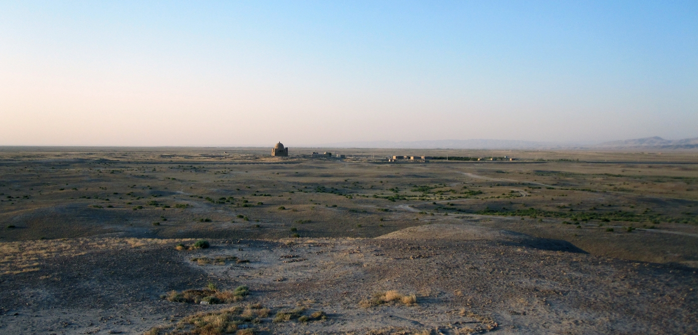
Chaacha Meana Survey
As part of the Monjukli Depe excavation project, an exploratory surface reconnaissance in the surroundings was conducted in 2012. The Chaacha Meana Survey, CMS for short, aimed to understand spatial changes in settlement and landscape use, with the goal of reconstructing the social, political, economic and environmental factors that fostered growth and/or decline in the region. Of particular interest was the period from the Aeneolithic through the Bronze Age.
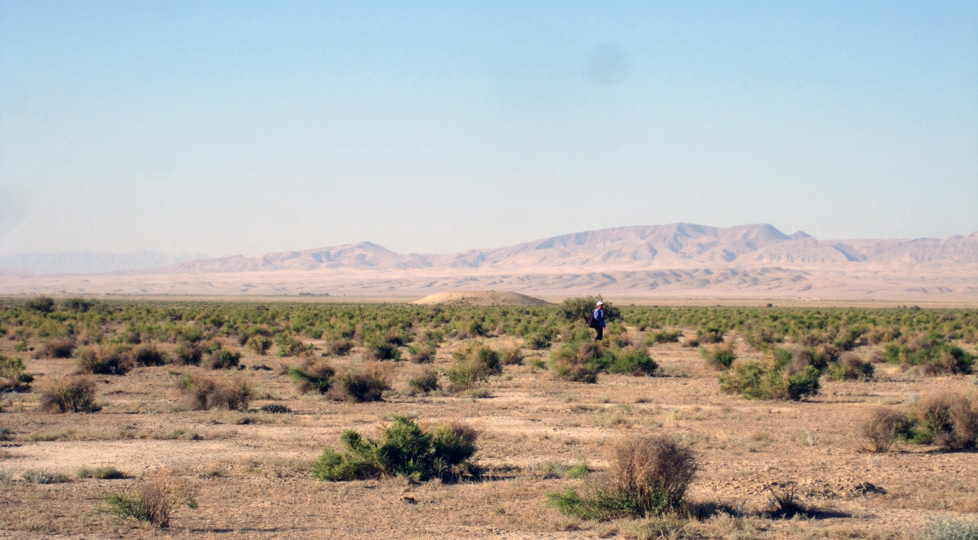
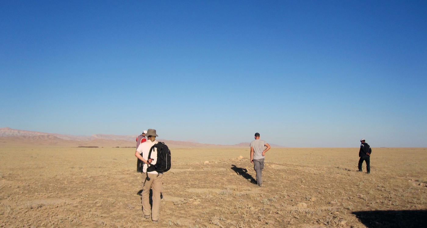
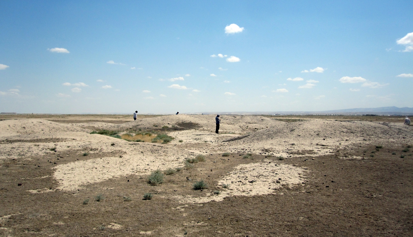
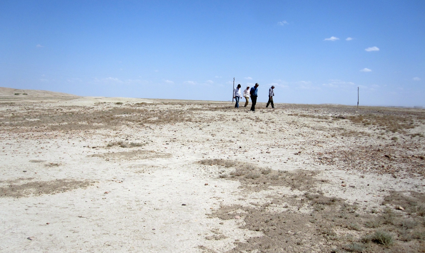
The 4-week foot and car survey (August – September 2012) was circumscribed within a 120km2 area that included the site of Monjukli Depe and straddled the Meana wadi as well as the alluvial plain between the Meana and Chaacha rivers. Satellite imagery (CORONA, Google Earth and Bing Maps) and geo-referenced Soviet maps from the 1970s were used to establish the survey boundaries and create a transect grid. The grid was imported into ArcGIS to facilitate transect walking and field recording with GPS technology. Walking or site surveying by a two-person team daily covered a total of 60 transects by the end of the season. Areas subject to heavy alluviation were avoided. The survey targeted well-known sites to survey or to visit, including some that were outside the pre-set boundaries of the survey. We concentrated our investigations to the north-northeast and south-southeast of the village of Meana.
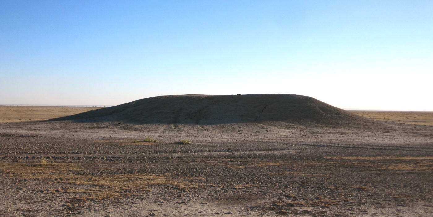
For each site identified, we recorded GPS coordinates, weather conditions and their effect on visibility, elevation, ground visibility, landscape features, and vegetation information. Unlike most areas of western Asia, artifact concentrations were generally sparse, except around well-established and mounded sites. As a result, we considered low artifact densities in flat landscapes as well as low-mounded areas as sites.
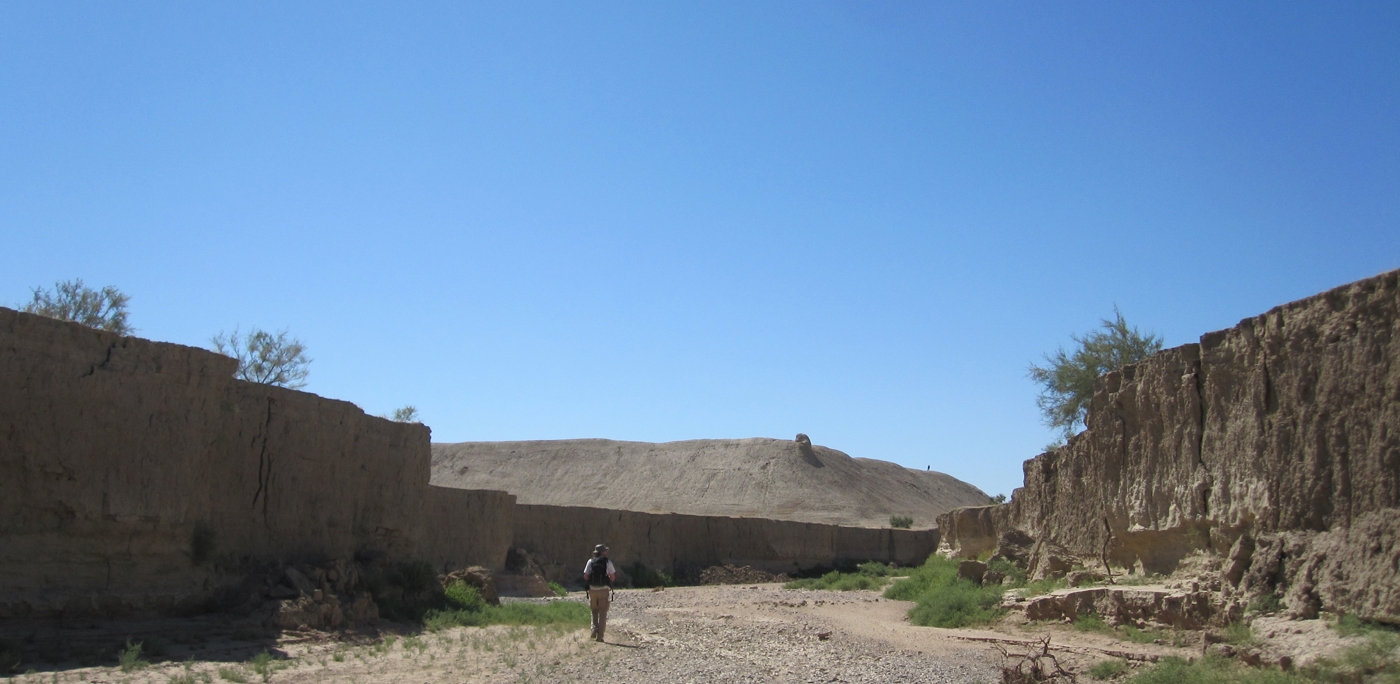
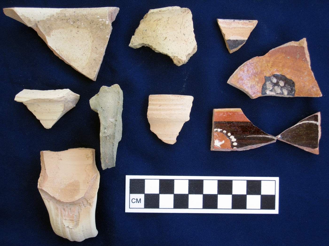
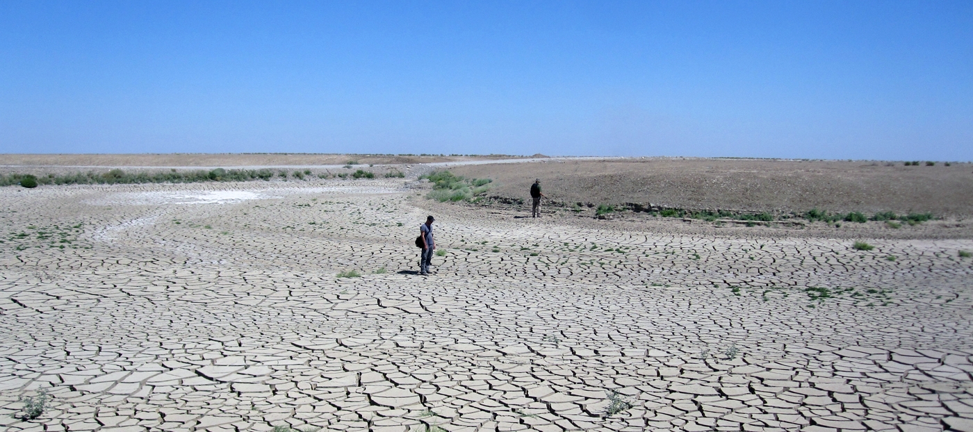
One of the most striking finds of the survey was the degree of sedimentation and alluviation that has transformed this landscape. Hydrological factors that have shaped the region also affect the present site distribution, allowing only a fragmentary view of the settlements of the past. Many of the low or non-mounded sites may have had prehistoric occupations that are now buried. Today, it is the later occupations, from Sasanian through the medieval period, that dominate the landscape. Nonetheless, fifty-four sites were identified, not including the extensively researched Monjukli Depe. Half of those sites (26) were surveyed, including taking measurements, mapping, photography and collection of diagnostic artifacts according to internally defined topographic characteristics, where applicable. Sites closer to the foothills of the Kopet Dag were visited in the company of the regionally responsible museum director from Kaaka. These visits (28 sites) were often very brief, with little possibility for in-depth investigations; GPS coordinates, elevations, photographs were taken and diagnostic artifacts collected, when feasible.
Preliminary chronological attributions of all surveyed and visited sites resulted in the identification of five major settlement phases: Neolithic-Aeneolithic, Bronze-Iron Age, Parthian-Late Sasanian (2nd century BCE – 7th century CE), Sasanian-Early Islamic-Medieval (3rd – 16th century CE), and Early Islamic – Late Medieval (7th – 18th century CE). Over half of the sites (33) date to the Parthian/Sasanian through Medieval periods, with the possibility that they were founded on earlier settlements that are now invisible below the ground surface. Sites from the Neolithic through the Iron Age (20) were concentrated in the alluvial plain between the Meana and Chaacha rivers. To investigate whether there are other prehistoric occupations that are currently invisible would require deep test pits or augering as well as excavations. Further geomorphological and paleoenvironmental analyses in tandem with archaeological surveys in the region would be important contributions to a holistic understanding of the changing landscape of this region and the context in which Monjukli Depe flourished.
For further reading, see Castro Gessner in Pollock et al. 2018.
